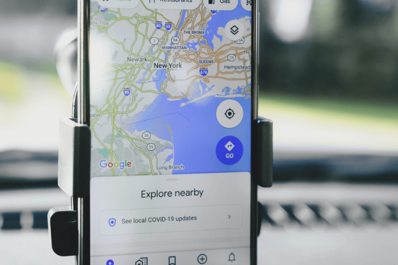
How to Effectively Plot Multiple Points on Google Maps
June 01, 2023
Let’s face it; driving can be hectic, particularly if you’re a delivery driver or someone who’s required to be on the road a lot and make multiple stops. Trying to get from one side of the city to the other, avoiding traffic, dodging road closures, and ensuring you’re hitting all your required stops at the desired time, it’s no easy feat. In fact, our heart rate just increased simply thinking of you out there, attempting to do all of that without some form of automated assistance. And we know what you’re thinking – probably something like, “Well, I’m not alone; I’ve got Google in my pocket to solve all of my problems.” To that, we say, well, yes… but also no. Of course, Google is fantastic, but if you need to plot multiple locations and complete them within an efficient timeframe, you will want to read the rest of this article. We’ll explain how to use Google Maps with MyRouteOnline Route Planner so that you’ll enjoy the advantages of both apps. Read this user-guide if you need more information on how to plan a multi-stop route with Google Maps.
Increase the effectiveness of Google Maps
If you regularly use Google Maps to plot multiple points in your upcoming journey, you may think you’ve got it all sussed, but we promise you there are ways to increase your efficiency beyond this. Google Maps is a fantastic tool, and frankly, it dominates the navigational software space in many eyes. You can plot multiple points on Google Maps and take a journey consisting of the multiple stops you’ve input into the app. However, there are two major areas where Google Maps falls short when it comes time to plot addresses on a map.
- Google doesn’t calculate the most efficient route
While technically, it allows you to plot multiple points on Google Maps; it is not engineered to methodically assess the surrounding roads and map out the most efficient route to save you time on the road. And sitting in traffic and back-tracking on stretches of road are precisely the types of things we want to avoid. - You can’t import a list of addresses into Google Maps
If you’re heading to Google Maps to plot multiple points and plan your journey, you will have to enter each of the addresses manually. If you only have 3 or 5 addresses, it’s not that time-consuming. However, if you have 100 desired stops for your journey, just imagine how long that would all take to input.
We want to reiterate that we don’t think you should go out there and delete Google Maps; quite the opposite, we want to enhance your experience with it. Using MyRouteOnline in conjunction with Google Maps, you can import and save addresses, plot multiple locations, set your prioritizations, get the most efficient route, and receive step-by-step directions along your journey. All this helps to save you time and stress and increase your efficiency on the road. Win, win, win!
Step-by-step: How to map points on Google Maps
Google Maps is a tried and true preferred app for many users on the go. Google Maps has over 1 billion users worldwide each month. That’s a heck of a lot of routes! It’s easy to see why so many individual commuters love Google Maps; it’s very user-friendly and, most of the time, is extremely up-to-date. They even have a feature that allows users to report any inaccuracies or traffic issues yet to be reflected within the app, ensuring a smoother use for others.
However, if you’re a Google Maps newbie and have never used it before, rest assured that we’ll give you a step-by-step guide on how to plot a journey on Google Maps below! Plus, we’ll give you a few extra tips and instructions if you want to use Google Maps for plotting multiple locations in a single journey.
How to plot multiple points on Google Maps
- Download Google Maps on your portable device (your smartphone is the most convenient) or go to google.com/maps.
- Open the app on your smartphone or chosen device.
- Scan the screen with your eyes. At the bottom, you will see a “Go” button with a small transit icon.
- Next, input your final destination address in the toolbar shown.
- Tap on “directions.” Once you do, the image on the screen will zoom out and show you an overview of the initial route.
- At the top of the screen, you will see a row of icons representing the different modes of transport available to you and the estimated journey time length. Choose which method of transport you wish to use: car, public transit, walking, ride service, cycling, and flying. If any of these options are unavailable in your area, a small “-” will be beside the icon.
- Once you select your mode of transport, the app will populate a route for you. The fastest will be shown in dark blue, and any others will be in light blue, with the estimated journey time displayed for all routes. Tap on your desired route to select it (if it isn’t already.)
- Tap “Start” at the bottom of the screen and get going!
If this is a route you anticipate taking repeatedly, we suggest ‘pinning’ it to save it for future use. If you want to plot multiple addresses on a map, check out the steps below!
How to use Google Maps to plot multiple addresses
- Once you have entered your end destination, click the “Add” button at the bottom of the screen. This will allow you to use the map to plot multiple locations.
- Type in your additional address. You can do this multiple times for up to 10 addresses.
- From here, you can select your chosen route and rearrange your destination’s order by the drag & drop option.
Or for a faster and more efficient way…
Plot multiple points on Google Maps with these 4 easy steps
- Register on our route planner.
- Import (or type in) your list of addresses that you need to stop at during your route.
- Click ‘Plan My Route’ and sit back while the My Route Online app works out the most efficient route.
- Share your route with Google Maps to utilize its top-notch navigation prompts and directions. Don’t worry; the apps are engineered to ‘talk’ to one another with ease.
Can I plot lat long using Google Maps?
The direct answer is yes. But for those currently rushing to Google Search to figure out what ‘lat long’ means, we’ve got the answer right here for you!
Lat long stands for latitude and longitude and is a measure used to determine and locate every point on Earth with only these two numbers. Neither of which is larger than 180. Here are a few examples:
These numbers by themselves aren’t all that helpful. But, once you add them to Google Maps, plot multiple points, and you’ll have a journey from Disneyland to the North Pole (although you may need access to a private plane).


