Route Optimization Software Improves Police Patrol Routes
February 25, 2025
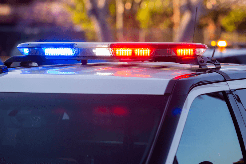
Bengaluru (India) police are leveraging the power of artificial intelligence and crime mapping to strategically deploy resources and deter offenses. By analysing data from FIRs (First Information Reports) and the 112-emergency helpline, police identify crime hotspots and surveillance blind spots, enabling targeted patrol deployments.
A pilot program in the West Division revealed a direct correlation between crime rates and CCTV coverage: areas with limited surveillance experienced higher crime rates. Plans are underway to expand the project citywide, utilizing AI to analyse emergency calls and predict crime-prone locations, allowing for more efficient resource allocation.
Enhancing Patrol Efficiency with Route Optimizer Software
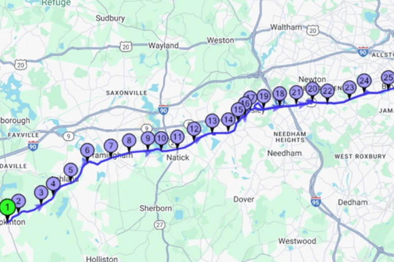
While AI-powered crime mapping provides critical insights into where patrols are most needed, route optimization software like MyRouteOnline can take efficiency to the next level. By integrating crime hotspot data with MyRouteOnline, police departments can:
- Create Optimized Patrol Routes: Input identified crime hotspots into MyRouteOnline, along with other necessary stops (e.g., community centres, schools). The software will generate the most efficient routes for patrol units, minimizing travel time and maximizing visibility in high-risk areas.
- Account for Real-Time Data: Integrate real-time data from the AI system analysing emergency calls to dynamically adjust patrol routes. If a new high-priority area emerges, MyRouteOnline can quickly re-optimize routes to ensure a rapid response.
- Balance Workload: Distribute patrol workload evenly among units by assigning specific zones and optimizing routes within those zones. With route optimization free up to 20 addresses, each zone can be planned separately.
- Reduce Fuel Costs & Vehicle Wear: By minimizing travel distances, MyRouteOnline can help police departments reduce fuel consumption and vehicle wear and tear, contributing to cost savings and environmental sustainability.
- Improve Officer Safety: More efficient routes allow officers to spend more time actively patrolling and less time driving, potentially improving their situational awareness and overall safety.
By combining the power of AI-driven crime mapping with route optimization software, Bengaluru police can create a proactive and data-driven patrol strategy, maximizing their effectiveness in deterring crime and ensuring public safety. MyRouteOnline can be the tool to turn crime data into actionable, efficient patrol routes.